Wednesday in Métabief, atmosphere unsettled, cold and unstable.
Temperatures will vary between -9 and -4°C, it will be very cold in the morning and -5°C below normal.
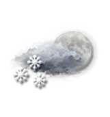
Night
-8°Feels Like -8°
Gusts 15 km/hCalm
Very cloudy sky with short clear periods.
Snow showers.
Risk of snow
65 %
Freezing level 0°
0 m
Snow-rain limit
0 m
Fresh snow
< 1cm
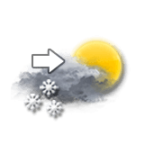
Morning
-9°Feels Like -9°
Gusts 15 km/hCalm
Very cloudy sky becoming more unsettled.
Snow showers.
Risk of snow
50 %
UV index0Low
Freezing level 0°
0 m
Snow-rain limit
0 m
Fresh snow
< 1cm
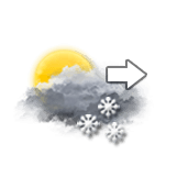
Afternoon
-4°Feels Like -3°
Gusts 20 km/hCalm
Unsettled weather becoming very cloudy.
Snow showers.
Risk of snow
60 %
UV index1Low
Freezing level 0°
150 m
Snow-rain limit
0 m
Fresh snow
< 1cm
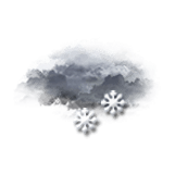
Evening
-6°Feels Like -7°
Gusts 20 km/hCalm
High humidity: cloudy with a risk of fog.
Snow showers.
Risk of snow
70 %
Freezing level 0°
0 m
Snow-rain limit
0 m
Fresh snow
1 cm
Night
-8°Feels Like -8°
Gusts 15 km/hCalm
Overcast and misty. Limited visibility.
Snow showers.
Risk of snow
55 %
Freezing level 0°
0 m
Snow-rain limit
0 m
Fresh snow
< 1cm
Share
Station Info
open
Métabief
Avalanche Risk
N.C.
Snow
0 cm
at the top
(1460m)
10 cm
down
(900m)
Snowfall
9 months ago : 4 cm 10 months ago : 15 cm
Webcam
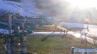
"Métabief - Front de neige
Métabief - Front de neige
Métabief - Télésiège du Morond
Track Info
Lifts
2/12
Snow Parks
-/2
Nordic ski
0/50 km
Back skiing
Partial
Open tracks
07
110
18
01
with
CLIMATE info
Rain
-5%
normal
Less rain than normal
Water restriction: No restrictions
Temperature
-5°C
normal
Colder than normal
Normal temperature : -1°C
Wednesday 7:
-6°C
One year ago : 1°C