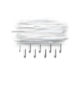
This afternoon in L'Image, Very cloudy skies becoming totally overcast. Light rain in the early hours.
Temperatures will vary between 7 and 9°C, it will be 3°C above normal.
The reliability of the situation is good.
This afternoon
9°Feels Like 7°
Gusts 10 km/hCalm
Very cloudy sky turning overcast.
Light rain at the end of the afternoon.
Risk of rain
100 %
UV index0Low
This evening
7°Feels Like 7°
Gusts 10 km/hCalm
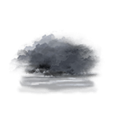
Overcast sky.
Persistent drizzle.
Risk of rain
65 %
Night
5°Feels Like 5°
Gusts 5 km/hCalm
Overcast and misty. Limited visibility.
No precipitation.
No risk of rain
Share
CLIMATE info
Rain
-5%
normal
Less rain than normal
Water restriction: No restrictions
Temperature
+3°C
normal
Warmer than normal
Normal temperature : 5°C
Average, today :
8°C
One year ago : 9°C