Home
Radar
Log in
Home
United States
Radar
Mountain
World
My account
Log in
Contact us
Search results
See all results
CAN'T FIND YOUR LOCATION?
Request the creation of a location
My location
Recent searches
Clear my history
Favorites
Edit my favorites
Create your account to save your favorites.
Log in
Weather
United Kingdom
Wales
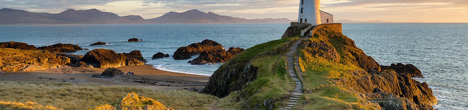
Brynteg
WEATHER BRYNTEG
United Kingdom (Wales)
Thu
16
-
-
Fri
17
-
-
Sat
18
-
-
Sun
19
-
-
Mon
20
-
-
Tue
21
-
-
Wed
22
-
-
Thu
23
-
-
Fri
24
-
-
Sat
25
-
-
Sun
26
-
-
Mon
27
-
-
Tue
28
-
-
Wed
29
-
-
Thu
30
-
-
365
days
Day
Time / Hour
Compare
Today's Forecast
Forecast produced by
Cyrille DUCHESNE
Updated at
16h30
- Next update at
19h45
(local time)
In Short
Weather radar
Hour by hour
Weather comparator
Expert’s summary
Tonight in Brynteg, Clear skies.
Temperatures will vary between 15 and 20°C.
The reliability of the situation is very good.
This evening
18°
Feels Like 17°
15 km/h
Gusts
30 km/h
Good weather with few clouds.
No precipitation.
No risk of rain
UV index
1
Low
Night
15°
Feels Like 14°
10 km/h
Gusts
10 km/h
Good clear weather becoming unsettled.
No precipitation.
No risk of rain
Tomorrow's weather
Weekend weather
Receive the weather forecast for my town or city
Add Weather Crave to your favorite sources
Share
Link copied
Ephemeris
Thursday 16 july
Day
-2 min
Waxing
crescent Moon
Sunrise
05h07
Sunset
21h38
Eustathius
Next few days
Tomorrow,
Friday 17
-
|
-
-
-
km/h
This weekend,
Saturday 18
-
|
-
-
-
km/h
Sunday 19
-
|
-
-
-
km/h
Golf
arround Brynteg
Golf
Storws Wen Golf Club
Near
Brynteg
Tregaian
Capel Coch
Rhosmeirch
Llangwyllog
Llanfihangel Tre'r Beirdd
Talwrn
Llanbedrgoch
Tynygongl
Llangefni
Marianglas
Bodffordd
Benllech
Weather United Kingdom
Glasgow
Liverpool
Leeds
Birmingham
London
Newcastle upon Tyne
Newton Abbot
Portsmouth
Radstock
Rochester
Royal Tunbridge Wells
Wales